
Technology
How new tools are changing how we capture and understand territory.
Since 2017, I have been adopting emerging technologies to turn data, territory and engineering into more accurate, efficient and valuable solutions.
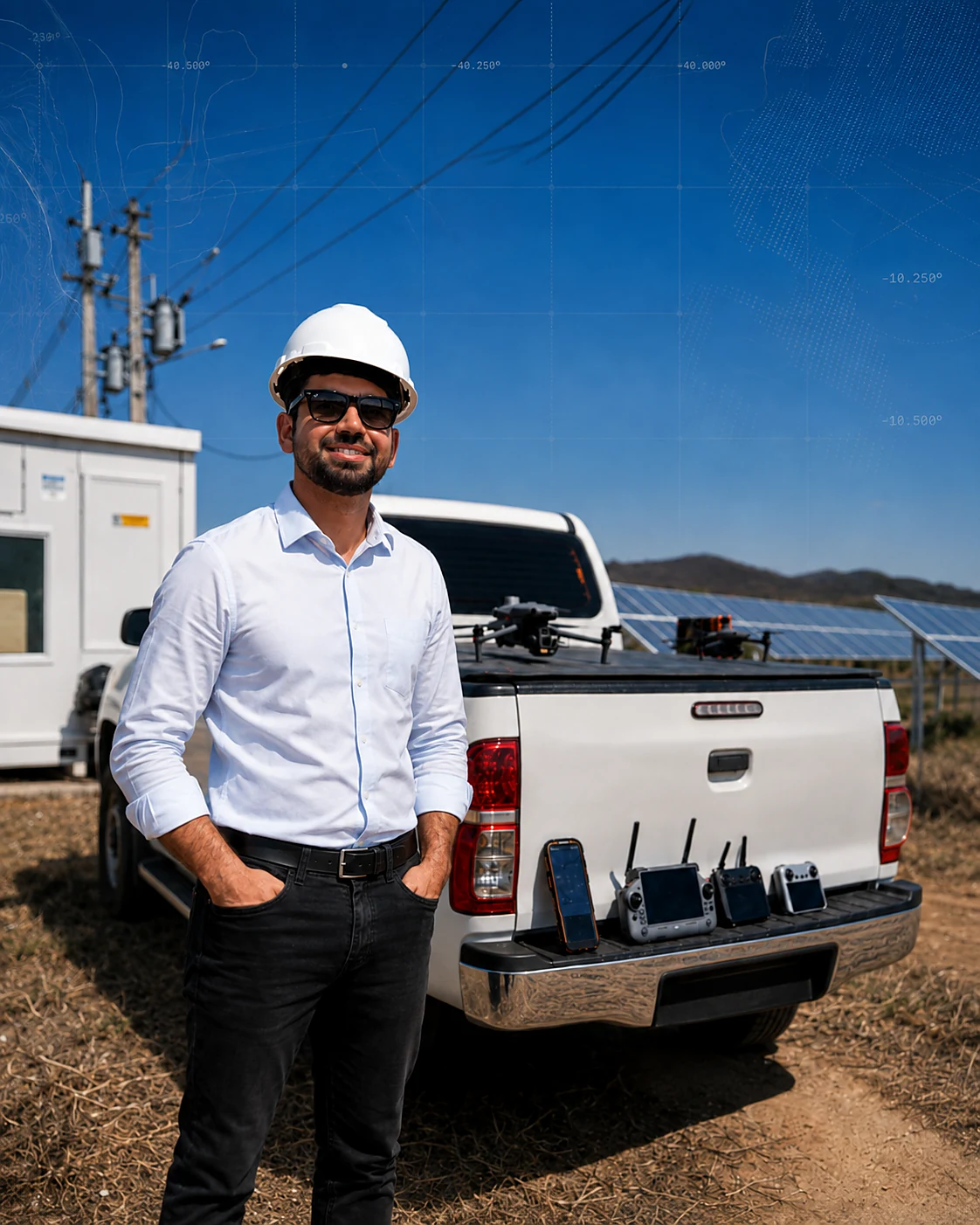
My professional journey follows the evolution of data capture, design and analysis tools — from early drone use to AI-driven engineering.
Bought my first drone and started using aerial imagery to understand and document territory.
CAD, technical production and engineering projects, connecting field information to design and decision-making.
Expanded into precision surveying, RTK, geodesy, land regularization and territorial engineering.
RTK/PPK drones, orthomosaics, digital models, GIS and geospatial processing for property, energy and large-area projects.
Laser scanning, SLAM, 3D capture, point clouds, as-built documentation and CAD/BIM workflows.
AI applied to projects, documents, design, quality control, operations, knowledge management and delivery efficiency.
Technology is not the end goal. Every tool should reduce uncertainty, improve accuracy or enable better engineering decisions.
Drones, RTK/PPK and photogrammetry turning imagery into territorial intelligence.
GNSS, RTK, geodesy and high-accuracy field methods.
Laser scanning, SLAM and point clouds for assets and built environments.
GIS, digital models, cartographic databases and territorial analysis.
CAD, infrastructure, land development, energy and real estate projects.
Workflows, validations and technical document generation to reduce rework.
Structured technical and operational information for better decisions.
Agents and automations extending both engineering and company capabilities.
Today I use artificial intelligence in a structured way to accelerate technical work, organize knowledge and build a more efficient operating model at Pixel.

I founded Pixel Engenharia to integrate technology, civil engineering and surveying across the full journey — from understanding territory to design, regularization, implementation and asset management.
Explore Pixel EngenhariaFrom surveying to engineering projects, we create property value.
Insights on engineering technology, territory, renewable energy, 3D reality and applied artificial intelligence.
How new tools are changing how we capture and understand territory.
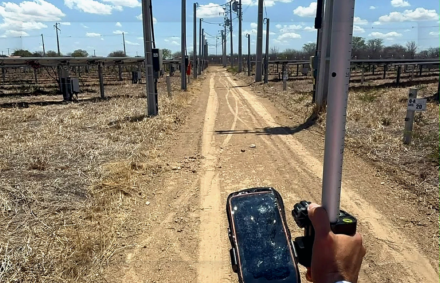
Technical decisions, project development and risk reduction.
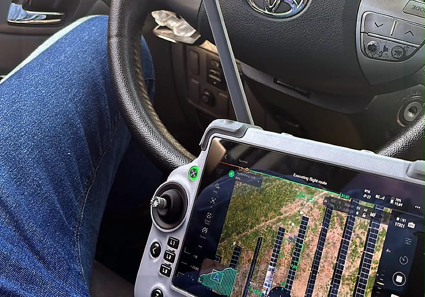
How agents and automation can expand the capabilities of an engineering company.
For commercial projects and engineering solutions, Pixel Engenharia is the primary channel. For content, technology, speaking and professional connections, contact me directly.